Landscape Lingers, While Memory Fades
Cross section of Seattle from Elliot Bay to Lake Washington with a bit of Bellevue and Mercer Island.
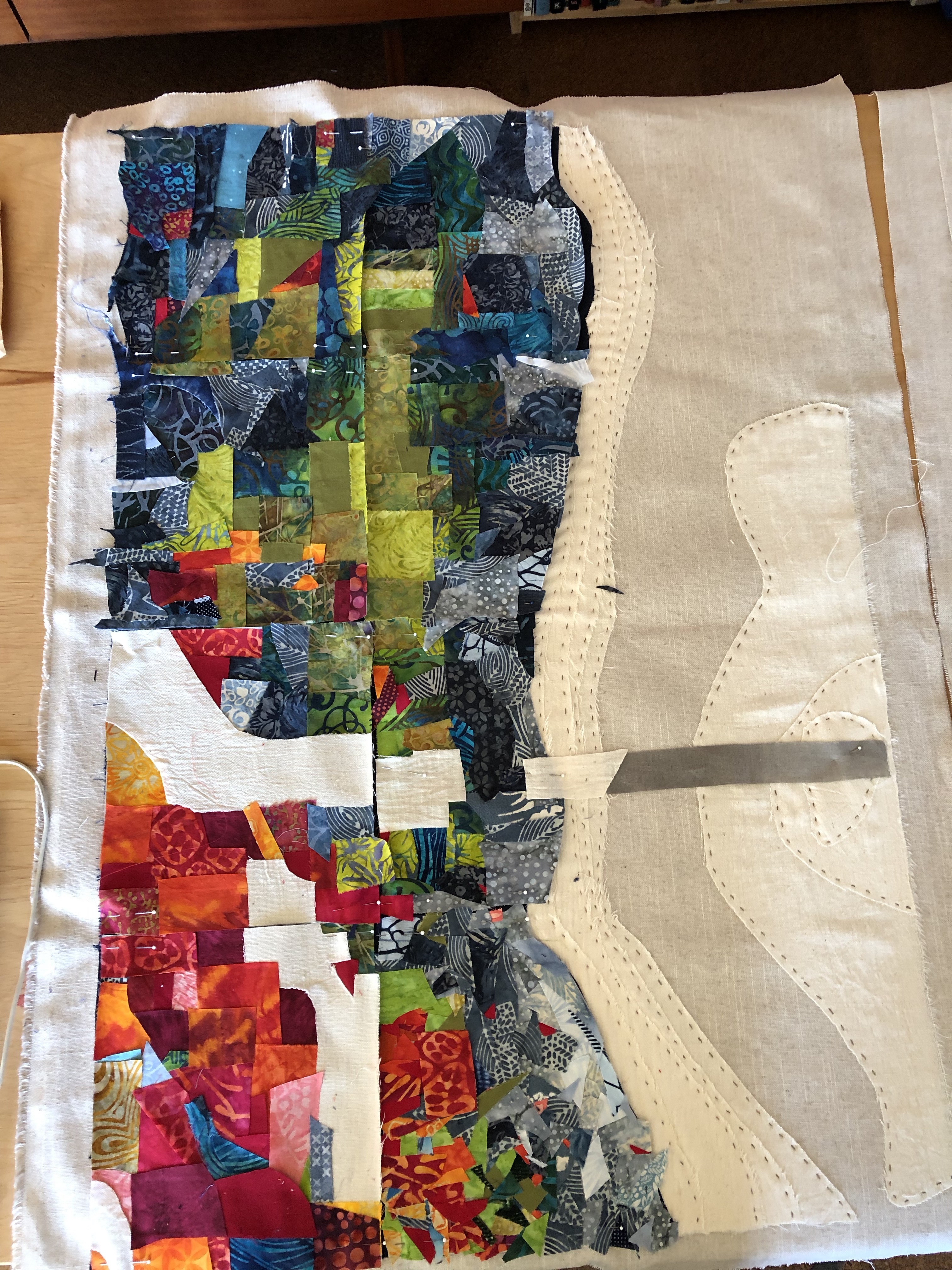
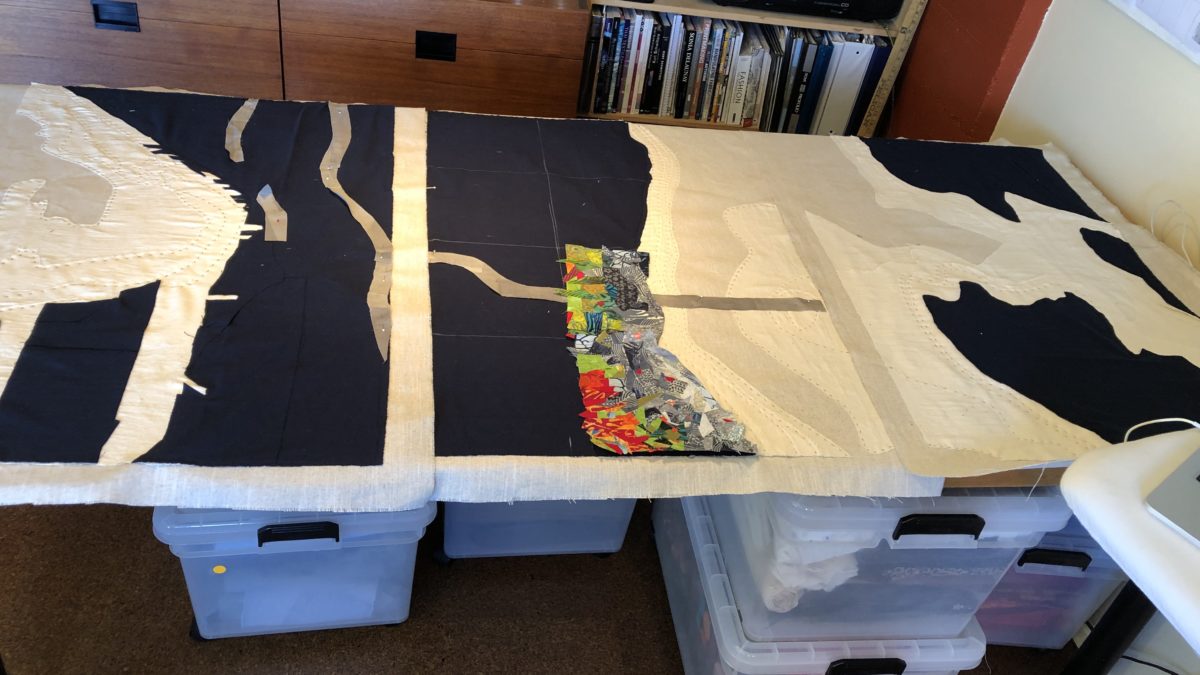
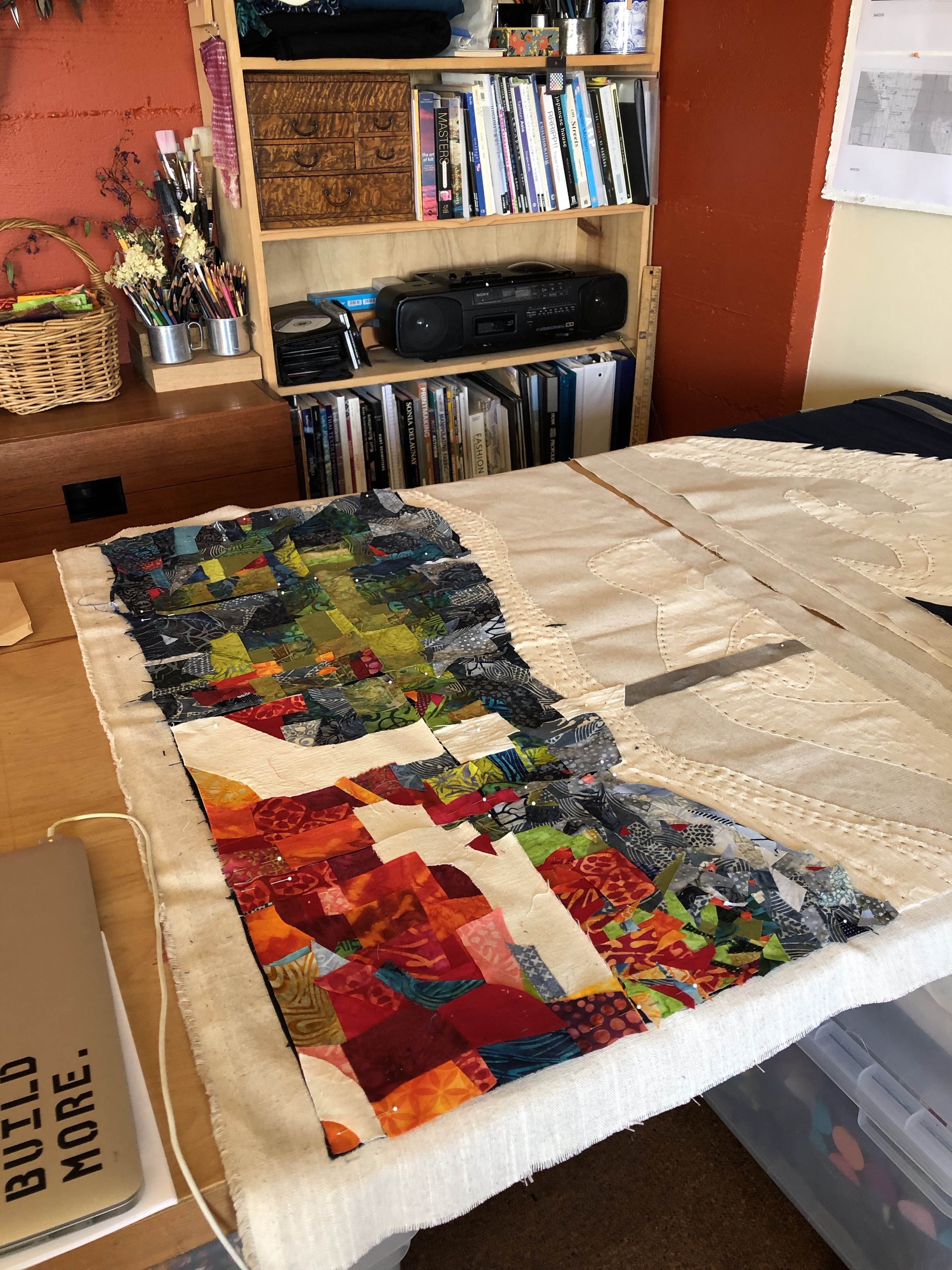
Currently, I am working on a triptych of the Seattle area based on the 2010 Racial Dot Map of the area. Different colors reflect the racial demographics of different parts of the city and surrounding areas. For the project, I have been studying not only the Racial Dot Map, but also the 1939 FHA Redlining map of Seattle and early demographic studies of historic Japanese, Jewish and Black neighborhoods.
-

- Concept Sketch

-

- Triptych No. 2 of 3. Highway interchange is centered on historic Japantown